Stags View
Map Colour: Red
Distance: 12.5 km
Time: 3.5 hours
Difficulty: Moderate
Notes: Optional 1 hr extension to Rineen Wood.
There are 2 ways to get to the “best view” part of this walk:
Option 1 Main walk : Following the solid red arrows, from the Causeway map board walk past the Fish Shop (2) and (14) and (15) to the RC church (16). Here take the right fork up the twisty Doctor’s Hill and down to the 4 crossroads where you turn left.
Option 2 : Set off through the village past (2) but at Dinty’s pub turn right and then left up Ardagh Hill passing Union Hall Smoked Fish factory on your LHS and following the dotted red arrows. Continue up over the brow of the hill and down to a left turn. Take this and follow a leafy road till you come to a fork where you turn left (up The Glen) to take you to the aforementioned 4X (on the main walk)
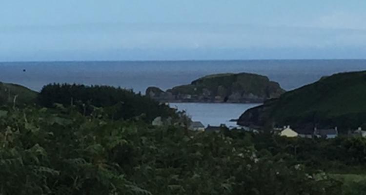
Now, to continue both options, follow the solid arrows across this 4X and climb this boreen where from the top (29), (30) a series of spectacular views unfold. As you descend the hill you will see what we think is the ‘best view in Ireland’! At the T junction at the bottom of the hill turn left and follow the road and red arrows, passing (20) (21) and (16) back to the village.
Downloads:
Map for this walk (red) Points of InterestClick here for main maps page.


